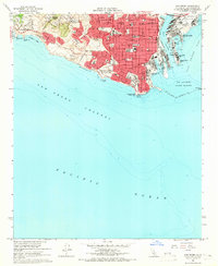
1964 Map of San Pedro
USGS Topo · Published 1965About this map
The Fort MacArthur Military Res dominates the southern coastline of the Palos Verdes Peninsula, anchoring a landscape where military installations and heavy industry meet the Pacific. This mid-1960s survey captures San Pedro during a period of significant maritime expansion, highlighted by the recently completed Vincent Thomas Bridge (Toll) connecting the mainland to Terminal Island. The harbor complex is characterized by engineered basins like Fish Harbor and the Main Channel, which supported the massive shipping and naval operations of the era.
Find a feature on this map
61 named features on this map. Tap any name to fly to it.
Don’t see what you’re looking for? This feature index may not catch every label — zoom into the map to look around manually.
Map Details
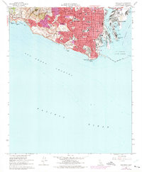
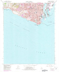
Editions of this 1964 San Pedro Map
3 editions found
Other maps of this area

1896 · Redondo
USGS Topo · 1:62,500

1896 · Las Bolsas
USGS Topo · 1:62,500

1896 · San Pedro
USGS Topo · 1:62,500

1896 · Downey
USGS Topo · 1:62,500

1899 · Downey
USGS Topo · 1:62,500

1901 · Southern California Sheet No. 1
USGS Topo · 1:250,000

1902 · Downey
USGS Topo · 1:62,500

1904 · Southern California Sheet No. 1
USGS Topo · 1:250,000

1923 · Wilmington
USGS Topo · 1:24,000
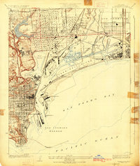
1925 · Wilmington
USGS Topo · 1:24,000
Featured Places
- Los Angeles, CA
- Rancho Palos Verdes, CA
- Rolling Hills, CA
- La Rambla, CA
- Portuguese Bend, Rancho Palos Verdes