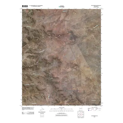
2010 Map of San Ramon
USGS Topo · Published 2010About this map
San Ramon and the surrounding high plains of San Miguel County are defined by a network of ephemeral drainages and scattered rural homesteads. This early 21st-century survey documents a landscape where traditional watercourses like Lagartija Creek and Trementina Creek dictate the placement of local infrastructure and historic family settlements. Named locales such as Maestas, Sanchez, and Quintana appear as small clusters or individual points of interest, often situated near natural landmarks like Los Cerritos or the deep incision of Four V Canyon.
Find a feature on this map
17 named features on this map. Tap any name to fly to it.
Don’t see what you’re looking for? This feature index may not catch every label — zoom into the map to look around manually.
Map Details
Editions of this 2010 San Ramon Map
This is the sole edition of this map. No revisions or reprints were ever made.
Other maps of this area

1892 · Watrous
USGS Topo · 1:125,000

1892 · Corazon
USGS Topo · 1:125,000

1894 · Corazon
USGS Topo · 1:125,000

1894 · Watrous
USGS Topo · 1:125,000

1954 · Santa Fe
USGS Topo · 1:250,000

1958 · Santa Fe
USGS Topo · 1:250,000

1971 · Canon Olguin
USGS Topo · 1:24,000

1972 · Variadero
USGS Topo · 1:24,000

1972 · Four V Ranch
USGS Topo · 1:24,000

1972 · Arroyo Alamocito
USGS Topo · 1:24,000