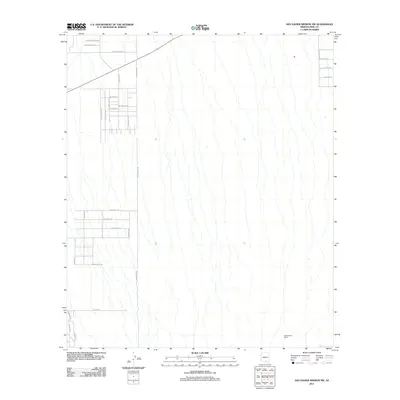
2011 Map of San Xavier Mission SW
USGS Topo · Published 2011About this map
Cottonwood Ranch anchors the southeastern corner of this arid landscape, situated within a topography defined by subtle drainage patterns typical of the Sonoran Desert. The western portion of the quadrangle shows a structured grid of residential development and arterial roads, including S Sandario Rd and S Marstellar Rd, which intersect with various local drives like W Cactus Ridge Dr and W Los Reales Rd. This infrastructure reflects the expansion of suburban settlement patterns on the outskirts of the San Xavier District.
Find a feature on this map
28 named features on this map. Tap any name to fly to it.
Don’t see what you’re looking for? This feature index may not catch every label — zoom into the map to look around manually.
Map Details
Editions of this 2011 San Xavier Mission SW Map
This is the sole edition of this map. No revisions or reprints were ever made.
Other maps of this area

1920 · Arivaca
USGS Topo · 1:125,000

1925 · Samaniego Peak
USGS Topo · 1:62,500

1925 · San Xavier
USGS Topo · 1:62,500

1934 · Tucson Mountains
USGS Topo · 1:125,000

1939 · Twin Buttes
USGS Topo · 1:62,500

1940 · Palo Alto Ranch
USGS Topo · 1:62,500

1941 · Twin Buttes
USGS Topo · 1:62,500

1941 · Cocoraque Butte
USGS Topo · 1:62,500

1943 · Cocoraque Butte
USGS Topo · 1:62,500

1943 · Palo Alto Ranch
USGS Topo · 1:62,500