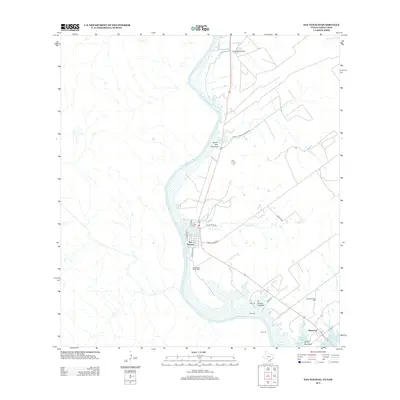
2013 Map of San Ygnacio
USGS Topo · Published 2013About this map
San Ygnacio sits prominently along the eastern bank of the Rio Grande, serving as the primary population center in this international border region. The landscape is defined by the convergence of several ephemeral waterways, such as Arroyo San Francisco and El Grullo Cr, which drain into the river and the northern reaches of the Falcon Reservoir. The town's layout is centered around local thoroughfares like Trevino St and Cemetery Ave, leading to several burial sites including the Uribe Cem and Cementerio del Pueblo. To the southeast, the smaller settlement of Ramireno is situated near the Arroyo Zacatoso, marked by its own New Ramireno Cem. The presence of the Corralitos Airport in the north and various ranch roads, including Sergio Gonzalez Ranch Rd, highlights the connectivity of this rural landscape despite its position along the rugged river boundary.
Find a feature on this map
24 named features on this map. Tap any name to fly to it.
Don’t see what you’re looking for? This feature index may not catch every label — zoom into the map to look around manually.
Map Details
Editions of this 2013 San Ygnacio Map
This is the sole edition of this map. No revisions or reprints were ever made.
Other maps of this area

1942 · San Ygnacio
USGS Topo · 1:62,500

1949 · Mc Allen
USGS Topo · 1:250,000

1954 · McAllen
USGS Topo · 1:250,000

1956 · Zapata
USGS Topo · 1:62,500

1956 · Laredo
USGS Topo · 1:250,000

1957 · Mc Allen
USGS Topo · 1:250,000

1962 · McAllen
USGS Topo · 1:250,000
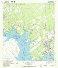
1979 · Zapata
USGS Topo · 1:24,000
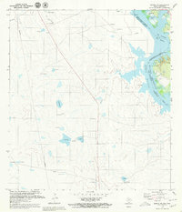
1979 · Zapata NW
USGS Topo · 1:24,000
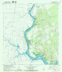
1979 · San Ygnacio
USGS Topo · 1:24,000