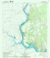
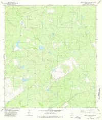
1979 Map of San Ygnacio
USGS Topo · Published 1980About this map
Falcon Reservoir dominates this international borderlands survey, defining the late 1970s landscape of Zapata County and Tamaulipas. The reservoir's waters submerge portions of the Rio Grande valley, indicated by the normal pool elevation and several navigational markers like Buoy 36. The town of San Ygnacio serves as the primary settlement on the Texas side, flanked by local landmarks such as Cementerio del Pueblo and a local Landing Strip. The map captures a transition in local habitation, noting both the established New Ramiro and the site of Santa Cruz (Abandonado), likely displaced by the rising waters of the reservoir project. Rural life is evidenced by numerous named ranchos and smaller localities, including Rancho Grande and El Chaparral, which are connected by a network of unimproved roads and light-duty paths through the mesquite-laden terrain of the Rio Grande basin.
Find a feature on this map
66 named features on this map. Tap any name to fly to it.
Don’t see what you’re looking for? This feature index may not catch every label — zoom into the map to look around manually.
Map Details
Editions of this 1979 San Ygnacio Map
2 editions found
Other maps of this area

1942 · San Ygnacio
USGS Topo · 1:62,500

1949 · Mc Allen
USGS Topo · 1:250,000

1954 · McAllen
USGS Topo · 1:250,000

1956 · Zapata
USGS Topo · 1:62,500

1956 · Laredo
USGS Topo · 1:250,000

1957 · Mc Allen
USGS Topo · 1:250,000

1962 · McAllen
USGS Topo · 1:250,000
1979 · Zapata
USGS Topo · 1:24,000
1979 · Zapata NW
USGS Topo · 1:24,000
1980 · Arroyo Salado East
USGS Topo · 1:24,000