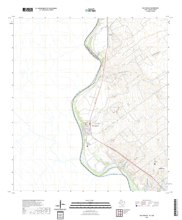
2022 Map of San Ygnacio
USGS Topo · Published 2022About this map
The Rio Grande defines the western edge of this South Texas borderland, where the settlement of San Ygnacio serves as a cultural and historical anchor. The town's grid is clearly visible, with streets like Laredo St and Washington Ave leading toward the river. This area is deeply connected to family heritage and long-standing land grants, evidenced by the presence of the Uribe Cem and the Manuel Benavides Garcia Cem.
Find a feature on this map
28 named features on this map. Tap any name to fly to it.
Don’t see what you’re looking for? This feature index may not catch every label — zoom into the map to look around manually.
Map Details
Editions of this 2022 San Ygnacio Map
This is the sole edition of this map. No revisions or reprints were ever made.
Other maps of this area

1942 · San Ygnacio
USGS Topo · 1:62,500

1949 · Mc Allen
USGS Topo · 1:250,000

1954 · McAllen
USGS Topo · 1:250,000

1956 · Zapata
USGS Topo · 1:62,500

1956 · Laredo
USGS Topo · 1:250,000

1957 · Mc Allen
USGS Topo · 1:250,000

1962 · McAllen
USGS Topo · 1:250,000
1979 · Zapata
USGS Topo · 1:24,000
1979 · Zapata NW
USGS Topo · 1:24,000
1979 · San Ygnacio
USGS Topo · 1:24,000