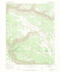
1967 Map of Sanborn Park
USGS Topo · Published 1971About this map
Uncompahgre National Forest dominates this 1967 survey of the plateau lands between Horsefly Trail and the deep incision of Craig Canyon. The map reveals a landscape managed for timber and ranching, evidenced by the McKeever Sawmill and a dedicated Logging Camp near Logging Camp Draw Reservoir. Small-scale water management is the defining human footprint here, with dozens of named catchments like Middle Sanborn Park Reservoir, Tarantula Reservoir, and Fisher Reservoir dotting the Horsefly Bench.
Find a feature on this map
53 named features on this map. Tap any name to fly to it.
Don’t see what you’re looking for? This feature index may not catch every label — zoom into the map to look around manually.
Map Details
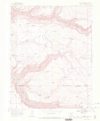
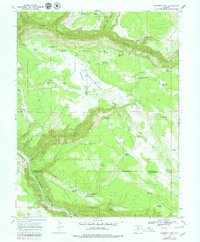
Editions of this 1967 Sanborn Park Map
3 editions found
Other maps of this area

1953 · Placerville
USGS Topo · 1:24,000

1956 · Moab
USGS Topo · 1:250,000

1959 · Moab
USGS Topo · 1:250,000

1960 · Moab
USGS Topo · 1:250,000

1962 · Moab
USGS Topo · 1:250,000

1964 · Moab
USGS Topo · 1:250,000
1964 · Norwood
USGS Topo · 1:24,000
1964 · Gurley Canyon
USGS Topo · 1:24,000
1964 · Oak Hill
USGS Topo · 1:24,000

1965 · Moab
USGS Topo · 1:250,000