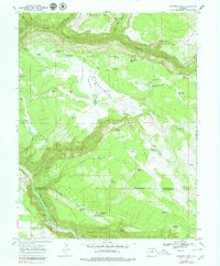
1967 Map of Sanborn Park
USGS Topo · Published 1979About this map
The Uncompahgre National Forest spans this high-altitude landscape of southwestern Colorado, where the transition from Horsefly Bench down into San Miguel Canyon reveals a history of timber and livestock water management. The mapping records localized infrastructure like the McKeever Sawmill and the Sanborn Sch, points of social and economic focus for the small settlement at Albin. This era of land use is defined by a dense network of mountain reservoirs and springs, including Dead Horse Reservoir and Hole-in-Ground Spring, critical for supporting operations across the high plateaus. Transport routes like the Horsefly Trail and the steep Norwood Hill road navigate the complex terrain of Sanborn Draw and Clay Creek, while the boundary between Montrose and San Miguel counties cuts across the lower half of the quadrangle.
Find a feature on this map
62 named features on this map. Tap any name to fly to it.
Don’t see what you’re looking for? This feature index may not catch every label — zoom into the map to look around manually.
Map Details
Editions of this 1967 Sanborn Park Map
3 editions found
Other maps of this area

1953 · Placerville
USGS Topo · 1:24,000

1956 · Moab
USGS Topo · 1:250,000

1959 · Moab
USGS Topo · 1:250,000

1960 · Moab
USGS Topo · 1:250,000

1962 · Moab
USGS Topo · 1:250,000

1964 · Moab
USGS Topo · 1:250,000
1964 · Norwood
USGS Topo · 1:24,000
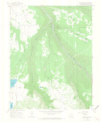
1964 · Gurley Canyon
USGS Topo · 1:24,000
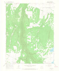
1964 · Oak Hill
USGS Topo · 1:24,000

1965 · Moab
USGS Topo · 1:250,000