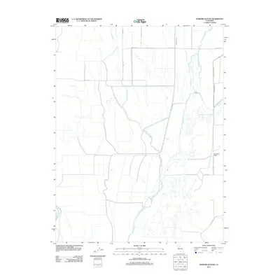
2012 Map of Sanborn Slough
USGS Topo · Published 2012About this map
Drumheller Slough and Butte Cr weave through this section of the Sacramento Valley, defining a landscape shaped by water management and agriculture. This 2012 survey shows the intricate network of irrigation and flood control, including the Cherokee Canal and the Main Drainage Canal, which support the surrounding fertile plains. Historically significant points like French Crossing mark old transit routes over the waterways, while modern agricultural footprints such as The Berry Patch indicate the area's continued reliance on the land. The map also captures the path of the Sacramento R along its western edge, providing a look at the vital water artery that feeds Sanborn Slough and Angel Slough.
Find a feature on this map
16 named features on this map. Tap any name to fly to it.
Don’t see what you’re looking for? This feature index may not catch every label — zoom into the map to look around manually.
Map Details
Editions of this 2012 Sanborn Slough Map
This is the sole edition of this map. No revisions or reprints were ever made.
Other maps of this area

1888 · Marysville
USGS Topo · 1:125,000

1891 · Marysville
USGS Topo · 1:125,000

1894 · Marysville
USGS Topo · 1:125,000

1895 · Marysville
USGS Topo · 1:125,000

1906 · Maxwell
USGS Topo · 1:62,500

1907 · Colusa
USGS Topo · 1:62,500

1911 · Sanborn Slough
USGS Topo · 1:31,680

1911 · Landlow
USGS Topo · 1:31,680

1912 · Marysville Buttes
USGS Topo · 1:31,680

1912 · Butte City
USGS Topo · 1:31,680