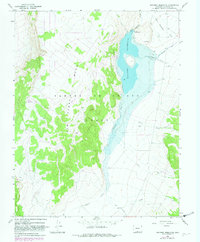
1967 Map of Sanchez Reservoir
USGS Topo · Published 1982About this map
Sanchez Reservoir and the high terrain of San Pedro Mesa anchor this 1967 survey of Costilla County. The landscape is defined by the massive Sangre de Cristo Grant, where water management and ranching infrastructure dictate the local geography. The reservoir itself is fed by a network of drainage systems, including Ventero Creek and Torcido Creek, while the Sanchez Canal carries water through the eastern flats.
Find a feature on this map
13 named features on this map. Tap any name to fly to it.
Don’t see what you’re looking for? This feature index may not catch every label — zoom into the map to look around manually.
Map Details
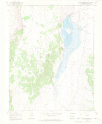
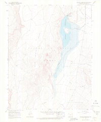
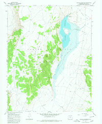
Editions of this 1967 Sanchez Reservoir Map
4 editions found
Other maps of this area

1954 · Raton
USGS Topo · 1:250,000

1954 · Trinidad
USGS Topo · 1:250,000

1955 · Trinidad
USGS Topo · 1:250,000

1958 · Raton
USGS Topo · 1:250,000

1958 · Trinidad
USGS Topo · 1:250,000

1959 · Trinidad
USGS Topo · 1:250,000

1963 · Costilla
USGS Topo · 1:24,000

1963 · Amalia
USGS Topo · 1:24,000

1963 · Big Costilla Peak
USGS Topo · 1:24,000

1967 · San Luis
USGS Topo · 1:24,000