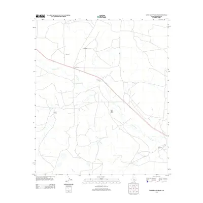
2012 Map of Sand Bluff Draw
USGS Topo · Published 2012About this map
The N Concho River winds through the heart of this Sterling County landscape, defining the drainage patterns of this semi-arid Texas region. Large-scale cattle operations and landholdings characterize the area, with family-named landmarks such as Reed Ranch and Cole Ranch in the north, and McEntire Ranch to the southeast. These ranching legacies are supported by a complex network of ephemeral waterways, including Dobson Cr and Bobs Cr, which feed into the main river channel. Distinctive geological features like Sand Bluff Draw, Gardener Draw, and Dobson Draw provide topographical texture to the terrain, illustrating how water has historically shaped the local environment. Modern transportation is represented by the diagonal corridor of the US highway and local routes like Parramore Ln, which link these sprawling ranch properties to the wider county infrastructure.
Find a feature on this map
10 named features on this map. Tap any name to fly to it.
Don’t see what you’re looking for? This feature index may not catch every label — zoom into the map to look around manually.
Map Details
Editions of this 2012 Sand Bluff Draw Map
This is the sole edition of this map. No revisions or reprints were ever made.
Other maps of this area

1941 · Big Spring South
USGS Topo · 1:62,500

1942 · Big Spring South
USGS Topo · 1:62,500

1954 · Big Spring
USGS Topo · 1:250,000

1954 · San Angelo
USGS Topo · 1:250,000

1958 · San Angelo
USGS Topo · 1:250,000

1958 · Big Spring
USGS Topo · 1:250,000

1963 · Cumbie Draw
USGS Topo · 1:24,000

1963 · Glass Ranch
USGS Topo · 1:24,000

1963 · Cumbie Draw NE
USGS Topo · 1:24,000

1963 · Buffalo Draw
USGS Topo · 1:24,000