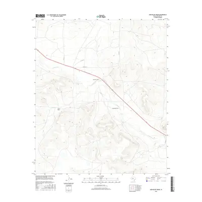
2016 Map of Sand Bluff Draw
USGS Topo · Published 2016About this map
The N Concho River snakes through the dry landscape of Sterling County, defining the drainage patterns of this West Texas region. This 2016 survey highlights a series of significant topographic depressions and seasonal watercourses, most notably Sand Bluff Draw and Gardener Draw, which reveal the erosional history of the plateau. Smaller tributaries like Dobson Cr and Bobs Cr feed into the primary river system, while Dobson Draw provides further evidence of the area's intricate hydrologic network. Human presence is marked primarily by a sparse grid of ranch roads and local connectors such as Co Rd 411-P and the specifically named Parramore Ln, which provide access to the expansive land parcels typical of this section of the Concho Valley.
Find a feature on this map
11 named features on this map. Tap any name to fly to it.
Don’t see what you’re looking for? This feature index may not catch every label — zoom into the map to look around manually.
Map Details
Editions of this 2016 Sand Bluff Draw Map
This is the sole edition of this map. No revisions or reprints were ever made.
Other maps of this area

1941 · Big Spring South
USGS Topo · 1:62,500

1942 · Big Spring South
USGS Topo · 1:62,500

1954 · Big Spring
USGS Topo · 1:250,000

1954 · San Angelo
USGS Topo · 1:250,000

1958 · San Angelo
USGS Topo · 1:250,000

1958 · Big Spring
USGS Topo · 1:250,000

1963 · Cumbie Draw
USGS Topo · 1:24,000

1963 · Glass Ranch
USGS Topo · 1:24,000

1963 · Cumbie Draw NE
USGS Topo · 1:24,000

1963 · Buffalo Draw
USGS Topo · 1:24,000