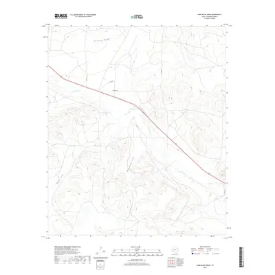
2019 Map of Sand Bluff Draw
USGS Topo · Published 2019About this map
N Concho River carves a path through the high plains of Sterling County, defining the drainage patterns of this western Texas landscape. The terrain is marked by a complex system of seasonal watercourses, including Gardener Draw to the north and the prominent Sand Bluff Draw which gives this area its name. These features illustrate the natural hydrology of the Concho valley before the influence of modern large-scale development.
Find a feature on this map
12 named features on this map. Tap any name to fly to it.
Don’t see what you’re looking for? This feature index may not catch every label — zoom into the map to look around manually.
Map Details
Editions of this 2019 Sand Bluff Draw Map
This is the sole edition of this map. No revisions or reprints were ever made.
Other maps of this area

1941 · Big Spring South
USGS Topo · 1:62,500

1942 · Big Spring South
USGS Topo · 1:62,500

1954 · Big Spring
USGS Topo · 1:250,000

1954 · San Angelo
USGS Topo · 1:250,000

1958 · San Angelo
USGS Topo · 1:250,000

1958 · Big Spring
USGS Topo · 1:250,000

1963 · Cumbie Draw
USGS Topo · 1:24,000

1963 · Glass Ranch
USGS Topo · 1:24,000

1963 · Cumbie Draw NE
USGS Topo · 1:24,000

1963 · Buffalo Draw
USGS Topo · 1:24,000