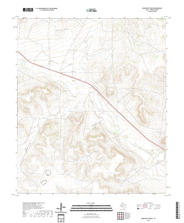
2022 Map of Sand Bluff Draw
USGS Topo · Published 2022About this map
The N Concho River cuts across this high plains landscape of Sterling County, following a winding course through a terrain defined by deep erosional cuts and drainage basins. The eponymous Sand Bluff Draw serves as a primary geographic landmark, joined by a network of seasonal watercourses including Gardener Draw, Dobson Draw, and Dobson Cr. This area is characterized by vast open spaces and ranching infrastructure, where rural travel is facilitated by corridors such as Parramore Ln and several numbered county roads like Co RD 410-P. The topography reveals a complex system of ridges and draws typical of the Texas Concho Valley, highlighting how water has shaped the local cattle country over generations.
Find a feature on this map
12 named features on this map. Tap any name to fly to it.
Don’t see what you’re looking for? This feature index may not catch every label — zoom into the map to look around manually.
Map Details
Editions of this 2022 Sand Bluff Draw Map
This is the sole edition of this map. No revisions or reprints were ever made.
Other maps of this area

1941 · Big Spring South
USGS Topo · 1:62,500

1942 · Big Spring South
USGS Topo · 1:62,500

1954 · Big Spring
USGS Topo · 1:250,000

1954 · San Angelo
USGS Topo · 1:250,000

1958 · San Angelo
USGS Topo · 1:250,000

1958 · Big Spring
USGS Topo · 1:250,000

1963 · Cumbie Draw
USGS Topo · 1:24,000

1963 · Glass Ranch
USGS Topo · 1:24,000

1963 · Cumbie Draw NE
USGS Topo · 1:24,000

1963 · Buffalo Draw
USGS Topo · 1:24,000