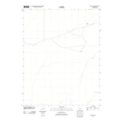
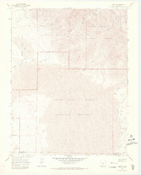
2010 Map of Sand Camp
USGS Topo · Published 2010About this map
Sand Camp sits within an arid landscape defined by intermittent water sources and ranching infrastructure in this part of Alamosa County. The area relies on a network of water features, including the seasonal flow of Sand Creek and Big Spring Creek to the south. Critical landmarks for navigation and land use in this open country include the Sand Pasture Windmill and natural water points such as Antelope Springs and Indian Spring. The map documents a sparsely populated region where dirt tracks connect these remote outposts, illustrating the survival of cattle ranching traditions and the importance of reliable water access in the high-elevation basin. Pole Creek and various drainage patterns further characterize the subtle topography of this high desert environment near the turn of the decade.
Find a feature on this map
7 named features on this map. Tap any name to fly to it.
Don’t see what you’re looking for? This feature index may not catch every label — zoom into the map to look around manually.
Map Details
Editions of this 2010 Sand Camp Map
This is the sole edition of this map. No revisions or reprints were ever made.
Other maps of this area

1954 · Trinidad
USGS Topo · 1:250,000

1955 · Trinidad
USGS Topo · 1:250,000

1958 · Trinidad
USGS Topo · 1:250,000

1959 · Trinidad
USGS Topo · 1:250,000

1965 · Medano Ranch
USGS Topo · 1:24,000

1965 · Zapata Ranch
USGS Topo · 1:24,000
1967 · Crestone
USGS Topo · 1:24,000
1967 · Crestone Peak
USGS Topo · 1:24,000
1967 · Sheds Camp
USGS Topo · 1:24,000
1967 · Liberty
USGS Topo · 1:24,000