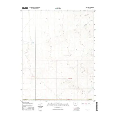
2016 Map of Sand Camp
USGS Topo · Published 2016About this map
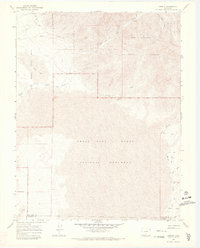
Great Sand Dunes National Park dominates this landscape in the San Luis Valley, where shifting sands meet the hydrological complexities of the mountain front. This 2016 survey captures a network of ephemeral and perennial water sources that define the area's geography, including Sand Cr and Big Spring Cr which flow across the eastern half of the quadrangle. The naming of Sand Camp and numerous water points like Antelope Springs and Indian Spring suggests the historic importance of reliable water for travellers and grazing in this arid environment. The map also delineates the administrative boundary between Saguache and Alamosa Counties, showing how modern political lines intersect with the ancient dune system and drainages like Pole Cr.
Find a feature on this map
12 named features on this map. Tap any name to fly to it.
Don’t see what you’re looking for? This feature index may not catch every label — zoom into the map to look around manually.
Map Details
Editions of this 2016 Sand Camp Map
This is the sole edition of this map. No revisions or reprints were ever made.
Other maps of this area

1954 · Trinidad
USGS Topo · 1:250,000

1955 · Trinidad
USGS Topo · 1:250,000

1958 · Trinidad
USGS Topo · 1:250,000

1959 · Trinidad
USGS Topo · 1:250,000

1965 · Medano Ranch
USGS Topo · 1:24,000

1965 · Zapata Ranch
USGS Topo · 1:24,000
1967 · Crestone
USGS Topo · 1:24,000
1967 · Crestone Peak
USGS Topo · 1:24,000
1967 · Sheds Camp
USGS Topo · 1:24,000
1967 · Liberty
USGS Topo · 1:24,000