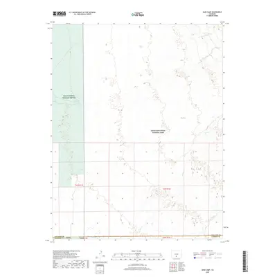
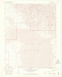
2019 Map of Sand Camp
USGS Topo · Published 2019About this map
Great Sand Dunes National Park dominates the eastern landscape of this quadrangle, where the San Luis Valley meets the rising foothills. The drainage patterns are defined by the winding courses of Sand Cr and Pole Cr, which illustrate the complex hydrology of this high-altitude basin. On the western edge, the Baca National Wildlife Refuge provides a contrast in land management, preserving a distinct portion of the valley floor near Antelope Springs.
Find a feature on this map
13 named features on this map. Tap any name to fly to it.
Don’t see what you’re looking for? This feature index may not catch every label — zoom into the map to look around manually.
Map Details
Editions of this 2019 Sand Camp Map
This is the sole edition of this map. No revisions or reprints were ever made.
Other maps of this area

1954 · Trinidad
USGS Topo · 1:250,000

1955 · Trinidad
USGS Topo · 1:250,000

1958 · Trinidad
USGS Topo · 1:250,000

1959 · Trinidad
USGS Topo · 1:250,000

1965 · Medano Ranch
USGS Topo · 1:24,000

1965 · Zapata Ranch
USGS Topo · 1:24,000
1967 · Crestone
USGS Topo · 1:24,000
1967 · Crestone Peak
USGS Topo · 1:24,000
1967 · Sheds Camp
USGS Topo · 1:24,000
1967 · Liberty
USGS Topo · 1:24,000