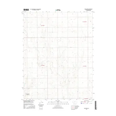
2015 Map of Sand Creek
USGS Topo · Published 2015About this map
Syracuse-Hamilton County Municipal Airport sits at the southwestern edge of this landscape, serving as a modern landmark in an area defined by wide agricultural sections and intermittent watercourses. The drainage patterns of Sand Cr and Syracuse Cr carve subtle pathways through the terrain, illustrating the hydrologic character of the High Plains. This 2015 survey reveals a disciplined grid of rural infrastructure, where routes like Co Rd 14 and Co Rd 16 provide the primary connectivity for farming and ranching operations. The spatial arrangement of these section lines and drainage ways highlights the intersection of late 20th-century aviation with traditional Midwestern land division.
Find a feature on this map
15 named features on this map. Tap any name to fly to it.
Don’t see what you’re looking for? This feature index may not catch every label — zoom into the map to look around manually.
Map Details
Editions of this 2015 Sand Creek Map
This is the sole edition of this map. No revisions or reprints were ever made.
Other maps of this area

1900 · Syracuse
USGS Topo · 1:125,000

1920 · Syracuse
USGS Topo · 1:125,000

1955 · Dodge City
USGS Topo · 1:250,000

1955 · Scott City
USGS Topo · 1:250,000

1958 · Dodge City
USGS Topo · 1:250,000

1958 · Scott City
USGS Topo · 1:250,000

1959 · Dodge City
USGS Topo · 1:250,000

1966 · Syracuse East
USGS Topo · 1:24,000
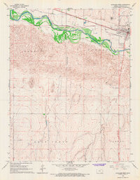
1966 · Syracuse West
USGS Topo · 1:24,000

1966 · Tribune 4 NW
USGS Topo · 1:24,000