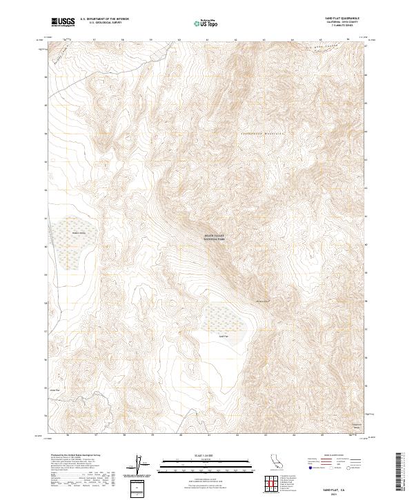
2021 Map of Sand Flat
USGS Topo · Published 2021About this map
The high-desert terrain of Death Valley National Park dominates this recent survey, centered on the expansive basin of Sand Flat. To the east and west, the landscape is defined by the steep elevation changes of the Cottonwood Mountains and the northern edge of the Panamint Range. These landforms create significant natural barriers, with access limited to primitive routes like the Dry Bone Canyon Trl in the northeast corner of the sheet.
Find a feature on this map
14 named features on this map. Tap any name to fly to it.
Don’t see what you’re looking for? This feature index may not catch every label — zoom into the map to look around manually.
Map Details
Editions of this 2021 Sand Flat Map
This is the sole edition of this map. No revisions or reprints were ever made.
Other maps of this area

1908 · Ballarat
USGS Topo · 1:250,000

1913 · Ballarat
USGS Topo · 1:250,000

1948 · Death Valley
USGS Topo · 1:250,000

1950 · Ubehebe Peak
USGS Topo · 1:62,500

1951 · Ubehebe Peak
USGS Topo · 1:62,500

1951 · Marble Canyon
USGS Topo · 1:62,500

1954 · Death Valley
USGS Topo · 1:250,000

1956 · Death Valley
USGS Topo · 1:250,000

1957 · Death Valley
USGS Topo · 1:250,000

1957 · Tin Mountain
USGS Topo · 1:62,500