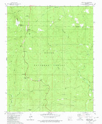
1980 Map of Sand Gap
USGS Topo · Published 1980About this map
Sand Gap and Freeman Springs occupy the high ridges of the Ozark National Forest along the border of Newton and Pope Counties. This upland landscape is defined by its dramatic relief, where local names like Sollys Knob, Burgiss Knob, and Dare Mine Knob mark prominent heights above the deep drainages of Richland Creek and North Fork Illinois Bayou. The mapping of small, family-named burial grounds including Freeman Springs, Richland Cem, and Brock Cem indicates the long-standing rural settlement patterns that persist despite the challenging topography.
Find a feature on this map
37 named features on this map. Tap any name to fly to it.
Don’t see what you’re looking for? This feature index may not catch every label — zoom into the map to look around manually.
Map Details
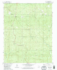
Editions of this 1980 Sand Gap Map
2 editions found
Other maps of this area

1879 · Washington
USGS Topo · 1:62,500

1887 · Smyrna
USGS Topo · 1:62,500

1889 · Treat
USGS Topo · 1:62,500

1889 · Marshall #3
USGS Topo · 1:62,500

1892 · Marshall
USGS Topo · 1:125,000

1894 · Marshall
USGS Topo · 1:125,000

1901 · Marshall
USGS Topo · 1:125,000

1932 · Treat
USGS Topo · 1:62,500

1933 · Mt Judea
USGS Topo · 1:62,500

1934 · Treat
USGS Topo · 1:62,500