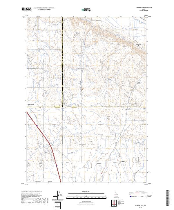
2024 Map of Sand Hollow
USGS Topo · Published 2024About this map
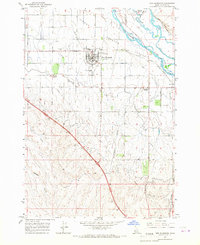
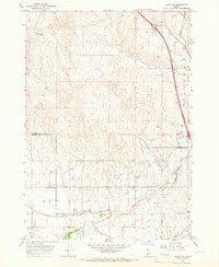
Sand Hollow sits at the intersection of agricultural ingenuity and desert geography, where three Idaho counties—Payette, Gem, and Canyon—converge. The landscape is defined by an intricate network of irrigation infrastructure, including the Black Canyon Canal, C-Line Canal West, and the Farmers Cooperative Canal, which together have transformed the arid Emmett Valley into productive farmland. This system of waterways follows the natural contours of the land, navigating around prominent drainage features like Sand Run Gulch and Conway Gulch.
Find a feature on this map
68 named features on this map. Tap any name to fly to it.
Don’t see what you’re looking for? This feature index may not catch every label — zoom into the map to look around manually.
Map Details
Editions of this 2024 Sand Hollow Map
This is the sole edition of this map. No revisions or reprints were ever made.
Other maps of this area

1898 · Nampa
USGS Topo · 1:125,000

1955 · Boise
USGS Topo · 1:250,000
1957 · Notus
USGS Topo · 1:24,000

1958 · Boise
USGS Topo · 1:250,000
1958 · Middleton
USGS Topo · 1:24,000
1958 · Caldwell
USGS Topo · 1:24,000

1962 · Boise
USGS Topo · 1:250,000
1965 · New Plymouth
USGS Topo · 1:24,000
1965 · Parma SE
USGS Topo · 1:24,000
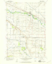
1970 · Southwest Emmett
USGS Topo · 1:24,000