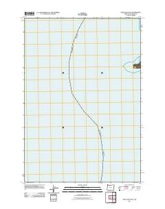
2011 Map of Sand Lake OE W
USGS Topo · Published 2011About this map
The vast expanse of the Pacific Ocean dominates this coastal survey, covering the nearshore waters off the Tillamook County shoreline. This specific quadrangle focuses almost entirely on the marine environment, illustrating the bathymetric and maritime context just west of the Oregon coast. The map provides a precise look at the maritime boundary and open water as it appeared in the early 21st century, serving as a specialized companion to the more landward sheets of the Sand Lake area.
Find a feature on this map
1 named feature on this map. Tap any name to fly to it.
Don’t see what you’re looking for? This feature index may not catch every label — zoom into the map to look around manually.
Map Details
Editions of this 2011 Sand Lake OE W Map
This is the sole edition of this map. No revisions or reprints were ever made.
Other maps of this area

1941 · Nestucca Bay
USGS Topo · 1:62,500

1942 · Nestucca Bay
USGS Topo · 1:62,500

1942 · Tillamook
USGS Topo · 1:62,500

1948 · Vancouver
USGS Topo · 1:250,000

1950 · Vancouver
USGS Topo · 1:250,000

1950 · Vancouver
USGS Topo · 1:250,000

1955 · Hebo
USGS Topo · 1:62,500

1955 · Tillamook
USGS Topo · 1:62,500

1958 · Vancouver
USGS Topo · 1:250,000

1964 · Vancouver
USGS Topo · 1:250,000