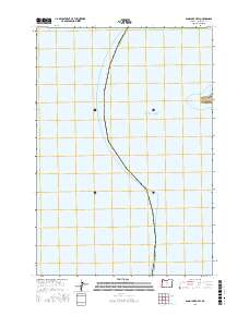
2017 Map of Sand Lake OE W
USGS Topo · Published 2017About this map
Pacific Ocean waters dominate this 2017 survey, defining the coastal boundary of Tillamook County. The primary landform of interest is Cape Lookout, a prominent headland that extends into the sea along the eastern edge of the quadrangle. This specific sheet focuses on the seaward perspective of the coast, capturing the transition from open water to the rocky terrain of the cape. The boundary lines for t3s r11w delineate the maritime and terrestrial divisions of the Oregon shoreline. This map is particularly useful for those studying the physical geography of the Tillamook coast and the precise coordinates of its shoreline features.
Find a feature on this map
5 named features on this map. Tap any name to fly to it.
Don’t see what you’re looking for? This feature index may not catch every label — zoom into the map to look around manually.
Map Details
Editions of this 2017 Sand Lake OE W Map
This is the sole edition of this map. No revisions or reprints were ever made.
Other maps of this area

1941 · Nestucca Bay
USGS Topo · 1:62,500

1942 · Nestucca Bay
USGS Topo · 1:62,500

1942 · Tillamook
USGS Topo · 1:62,500

1948 · Vancouver
USGS Topo · 1:250,000

1950 · Vancouver
USGS Topo · 1:250,000

1950 · Vancouver
USGS Topo · 1:250,000

1955 · Hebo
USGS Topo · 1:62,500

1955 · Tillamook
USGS Topo · 1:62,500

1958 · Vancouver
USGS Topo · 1:250,000

1964 · Vancouver
USGS Topo · 1:250,000