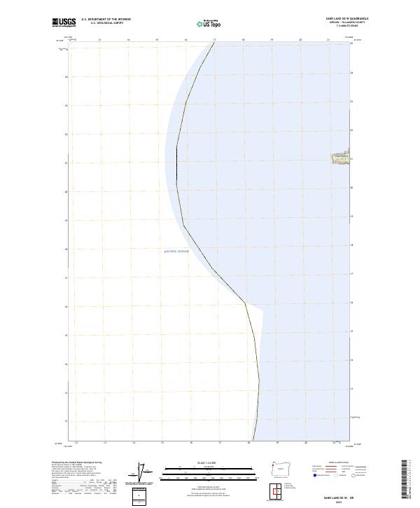
2023 Map of Sand Lake OE W
USGS Topo · Published 2023About this map
Pacific Ocean waters dominate this coastal survey, where the terrestrial landscape is largely defined by the Oregon Islands Wilderness and the prominent headland of Cape Lookout. The map provides a detailed view of the Public Land Survey System (PLSS) grid, documenting townships t2s r11w and t3s r11w along the edge of the continent. The lack of interior settlements or roads emphasizes the protected nature of this wilderness area, focusing instead on the precise boundary between land and sea. This 2023 edition uses modern imagery to track the current shoreline of this offshore wilderness system, where scattered islets and rocky outcrops provide critical habitat off the Tillamook coast.
Find a feature on this map
30 named features on this map. Tap any name to fly to it.
Don’t see what you’re looking for? This feature index may not catch every label — zoom into the map to look around manually.
Map Details
Editions of this 2023 Sand Lake OE W Map
This is the sole edition of this map. No revisions or reprints were ever made.
Other maps of this area

1941 · Nestucca Bay
USGS Topo · 1:62,500

1942 · Nestucca Bay
USGS Topo · 1:62,500

1942 · Tillamook
USGS Topo · 1:62,500

1948 · Vancouver
USGS Topo · 1:250,000

1950 · Vancouver
USGS Topo · 1:250,000

1950 · Vancouver
USGS Topo · 1:250,000

1955 · Hebo
USGS Topo · 1:62,500

1955 · Tillamook
USGS Topo · 1:62,500

1958 · Vancouver
USGS Topo · 1:250,000

1964 · Vancouver
USGS Topo · 1:250,000