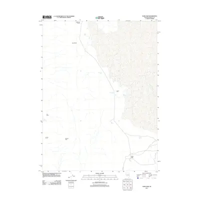
2011 Map of Sand Pass
USGS Topo · Published 2011About this map
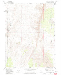
Sand Pass serves as a critical geographic marker in this arid Washoe County landscape, where the Sand Range meets the edge of a dry lakebed environment. The distribution of water sources like Rotten Egg Spring, Fish Spring, and Sulphur Spring suggests a reliance on scattered groundwater in a region defined by its desert characteristics. Cattle ranching and land use are evidenced by Bonham Ranch and the Dry Valley Corrals, which occupy the flatter expanses between the heights of Mission Peak and the low-lying Dry Slick. The presence of Slick Reservoir and Round Hole Spring further illustrates the management of water for livestock in a high-desert setting. This 2011 survey by the U.S. Geological Survey captures a sparsely populated interior where infrastructure is largely limited to unpaved routes and named natural landmarks that have likely served local travelers and ranchers for generations.
Find a feature on this map
15 named features on this map. Tap any name to fly to it.
Don’t see what you’re looking for? This feature index may not catch every label — zoom into the map to look around manually.
Map Details
Editions of this 2011 Sand Pass Map
This is the sole edition of this map. No revisions or reprints were ever made.
Other maps of this area

1886 · Granite Range
USGS Topo · 1:250,000

1894 · Granite Range
USGS Topo · 1:250,000

1955 · Lovelock
USGS Topo · 1:250,000

1959 · Lovelock
USGS Topo · 1:250,000

1964 · The Needle Rocks
USGS Topo · 1:24,000
1964 · Astor Pass
USGS Topo · 1:24,000
1964 · Flanigan
USGS Topo · 1:24,000

1965 · Fox Range
USGS Topo · 1:62,500
1980 · Red Rock Canyon
USGS Topo · 1:24,000
1980 · Parker Canyon
USGS Topo · 1:24,000