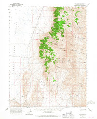
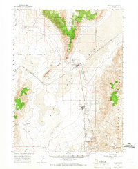
1965 Map of Fox Range
USGS Topo · Published 1967About this map
The Western Pacific Railroad cuts a straight path through the high desert of Washoe County, connecting the small stop at Reynard with points north and south along the edge of the Smoke Creek Desert. This mid-1960s survey documents a landscape defined by the rugged Fox Range, where remote extraction sites like the Packard Mine and Wild Horse Canyon Mine are reached by a network of jeep trails.
Find a feature on this map
41 named features on this map. Tap any name to fly to it.
Don’t see what you’re looking for? This feature index may not catch every label — zoom into the map to look around manually.
Map Details
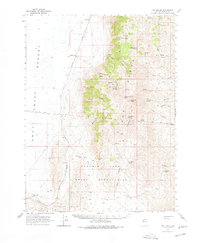
Editions of this 1965 Fox Range Map
2 editions found
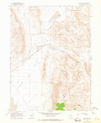
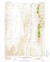
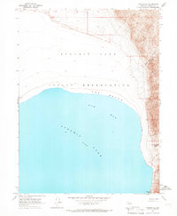
Other maps of this area

1886 · Granite Range
USGS Topo · 1:250,000

1894 · Granite Range
USGS Topo · 1:250,000

1955 · Lovelock
USGS Topo · 1:250,000

1959 · Lovelock
USGS Topo · 1:250,000
1964 · The Needle Rocks
USGS Topo · 1:24,000
1964 · Tohakum Peak NW
USGS Topo · 1:24,000
1964 · Gerlach
USGS Topo · 1:62,500
1964 · Astor Pass
USGS Topo · 1:24,000
1964 · Kumiva Peak
USGS Topo · 1:62,500
1964 · Pyramid NE
USGS Topo · 1:24,000