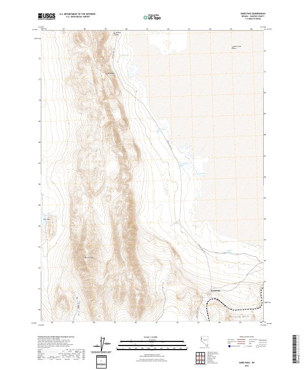
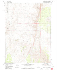
2021 Map of Sand Pass
USGS Topo · Published 2021About this map
Mission Peak anchors this arid Nevada landscape, where the high ridges of the Sand Range overlook the vast expanse of the Smoke Creek Desert. The map reveals a land defined by its scarce but vital water sources, with several uniquely named springs like Rotten Egg Spring, Round Hole Spring, and Sulphur Spring emerging at the base of the mountains. These water points were historically critical for travelers and livestock moving through the region.
Find a feature on this map
20 named features on this map. Tap any name to fly to it.
Don’t see what you’re looking for? This feature index may not catch every label — zoom into the map to look around manually.
Map Details
Editions of this 2021 Sand Pass Map
This is the sole edition of this map. No revisions or reprints were ever made.
Other maps of this area

1886 · Granite Range
USGS Topo · 1:250,000

1894 · Granite Range
USGS Topo · 1:250,000

1955 · Lovelock
USGS Topo · 1:250,000

1959 · Lovelock
USGS Topo · 1:250,000

1964 · The Needle Rocks
USGS Topo · 1:24,000
1964 · Astor Pass
USGS Topo · 1:24,000
1964 · Flanigan
USGS Topo · 1:24,000

1965 · Fox Range
USGS Topo · 1:62,500
1980 · Red Rock Canyon
USGS Topo · 1:24,000
1980 · Parker Canyon
USGS Topo · 1:24,000