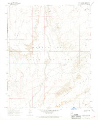
1967 Map of Sand Springs
USGS Topo · Published 1968About this map
Sand Springs and the expansive Moenkopi Plateau define this high-desert landscape in northern Arizona during the late 1960s. The area is characterized by its complex jurisdictional history, shown here as the Navajo - Hopi Joint Use Area, where traditional land use patterns intersect with tribal boundaries. The terrain is marked by seasonal water sources and significant topographical shifts, from the shifting Sand Dunes to the structured elevations of the Garces Mesas.
Find a feature on this map
13 named features on this map. Tap any name to fly to it.
Don’t see what you’re looking for? This feature index may not catch every label — zoom into the map to look around manually.
Map Details
Editions of this 1967 Sand Springs Map
2 editions found
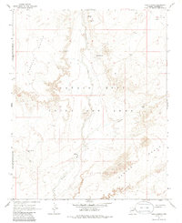
Other maps of this area

1883 · Tusayan
USGS Topo · 1:250,000

1886 · Tusayan
USGS Topo · 1:250,000

1886 · San Francisco Mtns
USGS Topo · 1:250,000

1891 · San Francisco Mtns
USGS Topo · 1:250,000

1894 · San Francisco Mtns
USGS Topo · 1:250,000

1899 · San Francisco Mtns
USGS Topo · 1:250,000

1947 · Flagstaff
USGS Topo · 1:250,000

1954 · Flagstaff
USGS Topo · 1:250,000
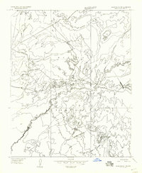
1955 · Black Falls 4 SE
USGS Topo · 1:24,000

1958 · Flagstaff
USGS Topo · 1:250,000