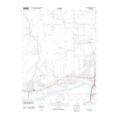
2010 Map of Sand Springs
USGS Topo · Published 2010About this map
The Arkansas River defines the southern reach of this 2010 landscape, where the industrial and residential corridors of Sand Springs meet the rising terrain of the Gilcrease Hills. This period of the city's expansion is documented through the dense street networks of the Osage Pkwy and Charles Page Blvd sectors, which bridge the gap between the urban core and suburban developments. Higher elevations like Holmes Peak and Reservoir Hill stand in contrast to the low-lying creeks and drainages, such as Bigheart Creek and Harlow Creek, that snake through the valley.
Find a feature on this map
59 named features on this map. Tap any name to fly to it.
Don’t see what you’re looking for? This feature index may not catch every label — zoom into the map to look around manually.
Map Details
Editions of this 2010 Sand Springs Map
This is the sole edition of this map. No revisions or reprints were ever made.
Other maps of this area

1901 · Claremore
USGS Topo · 1:125,000

1912 · Hominy
USGS Topo · 1:125,000

1914 · Claremore
USGS Topo · 1:125,000

1915 · Hominy
USGS Topo · 1:125,000

1916 · Claremore
USGS Topo · 1:125,000

1952 · Jenks
USGS Topo · 1:24,000

1954 · Tulsa
USGS Topo · 1:250,000

1954 · Tulsa
USGS Topo · 1:24,000

1955 · Sperry
USGS Topo · 1:24,000

1955 · Enid
USGS Topo · 1:250,000