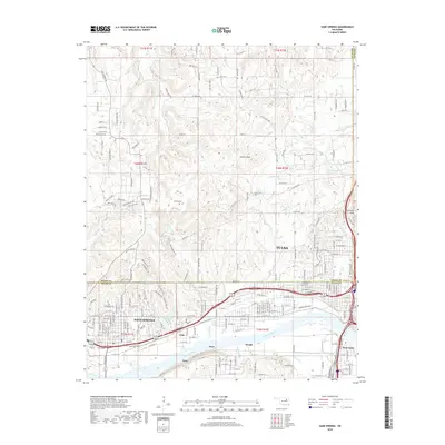
2022 Map of Sand Springs
USGS Topo · Published 2022About this map
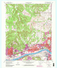
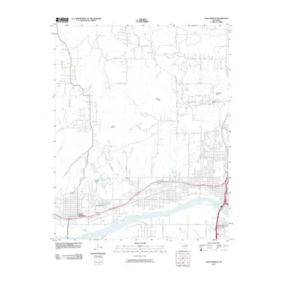
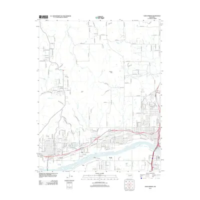
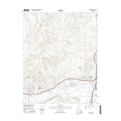
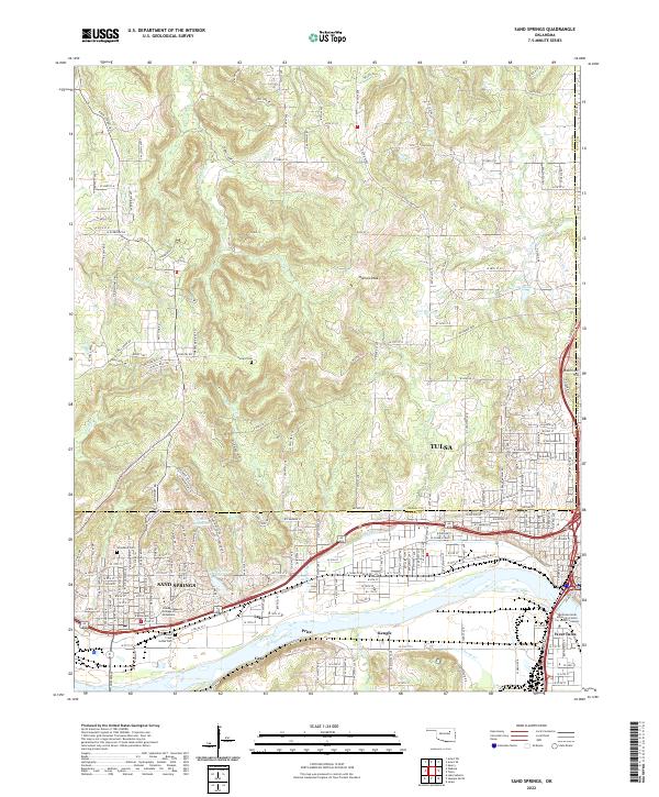
Sand Springs and the western edge of Tulsa flank the wide corridor of the Arkansas River, where the industrial and residential development of northeastern Oklahoma meets the elevation of Holmes Peak and Reservoir Hill. This survey highlights the complex transportation and educational infrastructure of the region, from the BNSF Railway following the riverbanks to the Oklahoma State University Center For Health Sciences in West Tulsa. Local history is anchored by the Hellard Cem in the north and institutional landmarks like the Standard Beauty College of Oklahoma near Sand Springs Lake. The terrain is defined by a series of creeks, including Turkey Cr, Shell Cr, and Harlow Cr, which drain the uplands into the river valley, shaping the layout of outlying settlements like Kengle, Gray, and Price.
Find a feature on this map
87 named features on this map. Tap any name to fly to it.
Don’t see what you’re looking for? This feature index may not catch every label — zoom into the map to look around manually.
Map Details
Editions of this 2022 Sand Springs Map
This is the sole edition of this map. No revisions or reprints were ever made.
Historical Maps of Tulsa Through Time
6 maps found