Loading...
Loading map...2022 Map of Sandborn
USGS Topo · Published 2022About this map
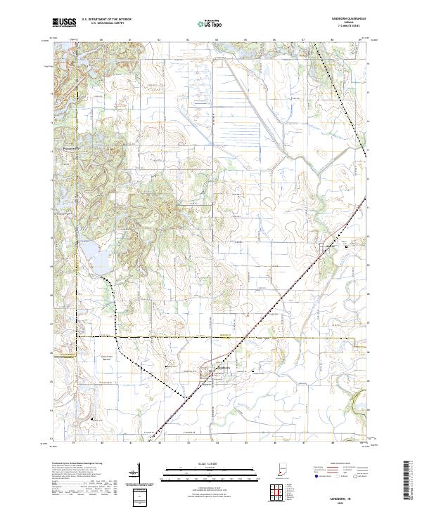
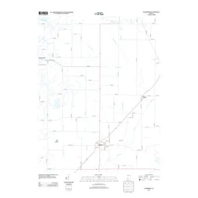
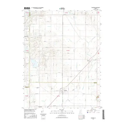
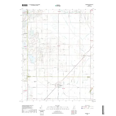
Sandborn and Marco anchor a landscape defined by an extensive network of drainage infrastructure in this southwestern Indiana study. The terrain is crisscrossed by numerous waterways designed to manage the low-lying basin, including Hamilton Ditch, Beehunter Ditch, and Calico Slough Ditch. These man-made channels highlight the agricultural transformation of the area, particularly near the Cane Green Bottom and along the winding course of Black Creek.
Find a feature on this map
66 named features on this map. Tap any name to fly to it.
Don’t see what you’re looking for? This feature index may not catch every label — zoom into the map to look around manually.
Map Details
Date Portrayed2022
Date Published2022
PublisherU.S. Geological Survey
Map TypeTopographic
Scale1:24,000
Physical Dimensions24 x 29 inches
Editions of this 2022 Sandborn Map
This is the sole edition of this map. No revisions or reprints were ever made.
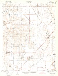
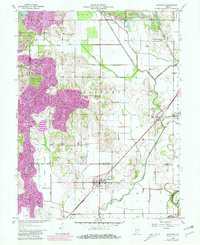
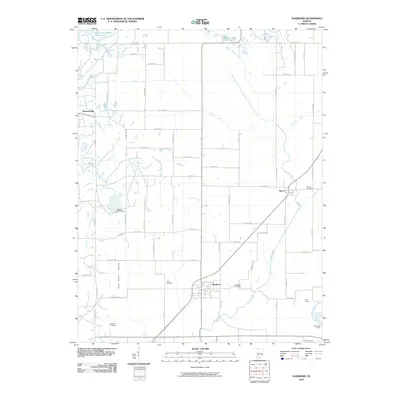
Historical Maps of Sandborn Through Time
7 maps found
Featured Locations
Source Details
SourceU.S. Geological Survey
CopyrightPublic Domain