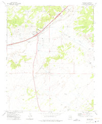
1971 Map of Sanders
USGS Topo · Published 1975About this map
The Navajo Indian Reservation spans the northern landscape of this 1970s survey, where the Puerco River and the Atchison Topeka and Santa Fe railroad create a vital transportation corridor. The settlement of Sanders serves as a local hub, anchored by the Valley High Sch and a nearby Inspection Station. This era reflects a landscape defined by water management and trade, evidenced by the Cedar Point Trading Post and numerous livestock water sources like Seventeen Windmill and Bens Dam Tank.
Find a feature on this map
26 named features on this map. Tap any name to fly to it.
Don’t see what you’re looking for? This feature index may not catch every label — zoom into the map to look around manually.
Map Details
Editions of this 1971 Sanders Map
This is the sole edition of this map. No revisions or reprints were ever made.
Other maps of this area

1886 · Fort Defiance
USGS Topo · 1:250,000

1892 · Fort Defiance
USGS Topo · 1:250,000

1954 · Gallup
USGS Topo · 1:250,000

1958 · Gallup
USGS Topo · 1:250,000

1959 · Gallup
USGS Topo · 1:250,000

1962 · Gallup
USGS Topo · 1:250,000

1967 · Gallup
USGS Topo · 1:250,000

1971 · Burntwater Wash
USGS Topo · 1:24,000
1971 · Chambers
USGS Topo · 1:24,000
1971 · Tolapai Spring
USGS Topo · 1:24,000