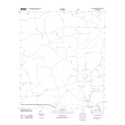
2012 Map of Sanderson North
USGS Topo · Published 2012About this map
Sanderson serves as the primary hub for this portion of Baker County, situated in a landscape defined by the drainage of the Middle Prong Saint Marys River and its tributaries. The terrain is crisscrossed by a network of local roads frequently named after established families, such as Earlis Harvey Rd, Arnold Rhoden Rd, and Leon Dopson Rd. This naming pattern reflects a deeply rooted community structure where family homesteads and local landmarks define the geography.
Find a feature on this map
38 named features on this map. Tap any name to fly to it.
Don’t see what you’re looking for? This feature index may not catch every label — zoom into the map to look around manually.
Map Details
Editions of this 2012 Sanderson North Map
This is the sole edition of this map. No revisions or reprints were ever made.
Other maps of this area

1917 · Macclenny
USGS Topo · 1:62,500

1918 · Lawtey
USGS Topo · 1:62,500

1918 · Macclenny
USGS Topo · 1:62,500

1954 · Valdosta
USGS Topo · 1:250,000

1958 · Valdosta
USGS Topo · 1:250,000

1959 · Valdosta
USGS Topo · 1:250,000

1963 · Olustee
USGS Topo · 1:24,000

1963 · Sanderson South
USGS Topo · 1:24,000

1969 · Sanderson NW
USGS Topo · 1:24,000

1969 · Sanderson North
USGS Topo · 1:24,000