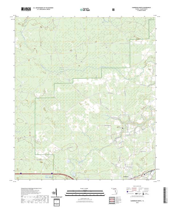
2024 Map of Sanderson North
USGS Topo · Published 2024About this map
Osceola National Forest encompasses the northern half of this Baker County terrain, where the landscape is defined by the wetlands of Hurricane Bay and the drainage of Calkins Creek and Bill Branch. This area reflects a mosaic of conservation land and rural family-named tracts, with numerous local roads like Leon Dopson Rd and Verdie Dorman Rd threading through the pine woods and marshes.
Find a feature on this map
45 named features on this map. Tap any name to fly to it.
Don’t see what you’re looking for? This feature index may not catch every label — zoom into the map to look around manually.
Map Details
Editions of this 2024 Sanderson North Map
This is the sole edition of this map. No revisions or reprints were ever made.
Other maps of this area

1917 · Macclenny
USGS Topo · 1:62,500

1918 · Lawtey
USGS Topo · 1:62,500

1918 · Macclenny
USGS Topo · 1:62,500

1954 · Valdosta
USGS Topo · 1:250,000

1958 · Valdosta
USGS Topo · 1:250,000

1959 · Valdosta
USGS Topo · 1:250,000

1963 · Olustee
USGS Topo · 1:24,000

1963 · Sanderson South
USGS Topo · 1:24,000

1969 · Sanderson NW
USGS Topo · 1:24,000

1969 · Sanderson North
USGS Topo · 1:24,000