
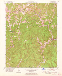
1953 Map of Sandgap
USGS Topo · Published 1954About this map
The Cumberland National Forest landscape shown here in the early 1950s is defined by a dense network of creek branches and ridge-top settlements. Small communities like Sandgap and Waneta are connected by KY 89, while the interior of the forest is dotted with local institutions serving families in the hollows. The map records several named schoolhouses, including School No 1, School No 2, and Upper Indian Cr Sch, many of which were central to the rural social structure of Jackson County during this era.
Find a feature on this map
58 named features on this map. Tap any name to fly to it.
Don’t see what you’re looking for? This feature index may not catch every label — zoom into the map to look around manually.
Map Details
Editions of this 1953 Sandgap Map
3 editions found
Other maps of this area

1891 · Manchester
USGS Topo · 1:125,000

1892 · Richmond
USGS Topo · 1:125,000

1892 · Beattyville
USGS Topo · 1:125,000

1893 · London
USGS Topo · 1:125,000

1897 · Richmond
USGS Topo · 1:125,000

1897 · London
USGS Topo · 1:125,000

1952 · Alcorn
USGS Topo · 1:24,000

1952 · Leighton
USGS Topo · 1:24,000

1952 · Bighill
USGS Topo · 1:24,000

1953 · Johnetta
USGS Topo · 1:24,000