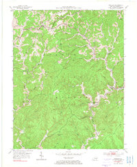
1953 Map of Sandgap
USGS Topo · Published 1976About this map
Sandgap and the surrounding Jackson County ridges are defined by the dense network of schools and churches that served these upland communities in the early 1950s. The landscape is characterized by steep hollows drained by Horse Lick Creek and Birch Lick Creek, much of which falls within the Cumberland National Forest. Small settlements like Waneta and Hurley are tucked into the valley floors, while higher elevations are marked by landmarks like the S Tree Lookout Tower on the western edge.
Find a feature on this map
45 named features on this map. Tap any name to fly to it.
Don’t see what you’re looking for? This feature index may not catch every label — zoom into the map to look around manually.
Map Details
Editions of this 1953 Sandgap Map
3 editions found

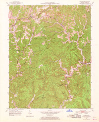
Other maps of this area

1891 · Manchester
USGS Topo · 1:125,000

1892 · Richmond
USGS Topo · 1:125,000

1892 · Beattyville
USGS Topo · 1:125,000

1893 · London
USGS Topo · 1:125,000

1897 · Richmond
USGS Topo · 1:125,000

1897 · London
USGS Topo · 1:125,000

1952 · Alcorn
USGS Topo · 1:24,000

1952 · Leighton
USGS Topo · 1:24,000

1952 · Bighill
USGS Topo · 1:24,000

1953 · Johnetta
USGS Topo · 1:24,000