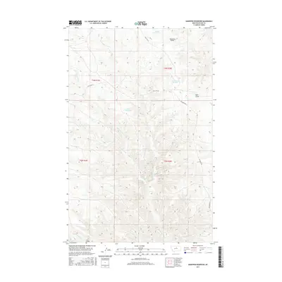
2017 Map of Sandpiper Reservoir
USGS Topo · Published 2017About this map
Sandpiper Reservoir sits at the center of this drainage-rich landscape in Blaine County, where a network of coulees and seasonal creeks define the high plains geography. The terrain is dominated by the deeply etched paths of Bullwhacker Coulee and Coal Mine Coulee, which channel water across the ranchlands. These intermittent watercourses were vital for livestock management, as evidenced by the series of small, strategically placed impoundments like Brush Shack Reservoir, Bud Reservoir, and Blanch Reservoir. Historic transit routes including the Cow Island Trl and Bullwhacker Rd skirt the edges of the coulee systems, following the natural contours of the land. This 2017 survey details the precise hydrography of the northern Missouri River breaks, capturing the complex network of branches such as Christenson Br and the rugged forks of Lion Coulee.
Find a feature on this map
18 named features on this map. Tap any name to fly to it.
Don’t see what you’re looking for? This feature index may not catch every label — zoom into the map to look around manually.
Map Details
Editions of this 2017 Sandpiper Reservoir Map
This is the sole edition of this map. No revisions or reprints were ever made.
Other maps of this area

1953 · Havre
USGS Topo · 1:250,000

1954 · Bird Rapids
USGS Topo · 1:24,000

1954 · Leroy
USGS Topo · 1:24,000

1954 · Sturgeon Island
USGS Topo · 1:24,000

1954 · Lewistown
USGS Topo · 1:250,000

1956 · Maddux
USGS Topo · 1:62,500

1956 · Rattlesnake
USGS Topo · 1:62,500

1957 · Havre
USGS Topo · 1:250,000

1958 · Havre
USGS Topo · 1:250,000

1959 · Lewistown
USGS Topo · 1:250,000