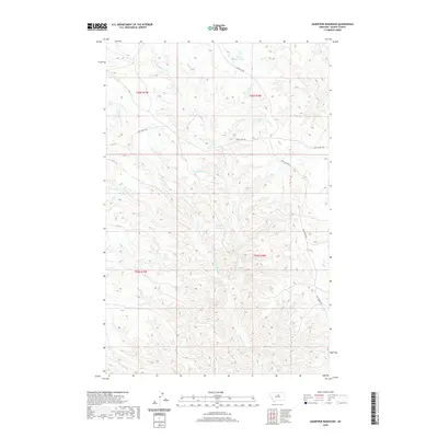
2020 Map of Sandpiper Reservoir
USGS Topo · Published 2020About this map
Bullwhacker Coulee and its many offshoots carve through this section of Blaine County, defining a landscape shaped by intermittent water and local ranching infrastructure. Small-scale water management is evident throughout the terrain, marked by several named catchments including Blanch Reservoir, Brush-Shack Reservoir, Bud Reservoir, and the central Sandpiper Reservoir. These features suggest the vital importance of water storage for livestock in this high plains environment.
Find a feature on this map
15 named features on this map. Tap any name to fly to it.
Don’t see what you’re looking for? This feature index may not catch every label — zoom into the map to look around manually.
Map Details
Editions of this 2020 Sandpiper Reservoir Map
This is the sole edition of this map. No revisions or reprints were ever made.
Other maps of this area

1953 · Havre
USGS Topo · 1:250,000

1954 · Bird Rapids
USGS Topo · 1:24,000

1954 · Leroy
USGS Topo · 1:24,000

1954 · Sturgeon Island
USGS Topo · 1:24,000

1954 · Lewistown
USGS Topo · 1:250,000

1956 · Maddux
USGS Topo · 1:62,500

1956 · Rattlesnake
USGS Topo · 1:62,500

1957 · Havre
USGS Topo · 1:250,000

1958 · Havre
USGS Topo · 1:250,000

1959 · Lewistown
USGS Topo · 1:250,000