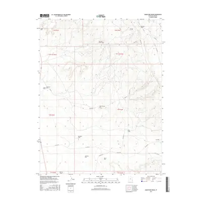
2017 Map of Sandstone Draw
USGS Topo · Published 2017About this map
Big Indian Valley and the surrounding high-desert landscape define this portion of San Juan County, where the small community of La Sal serves as the primary northern landmark. The terrain is deeply carved by drainage systems like Sandstone Draw and Big Indian Wash, which snake through a series of geological formations and named canyons. A network of specialized roads, including Hecla Rd and Homestake Rd, suggests the area's ongoing connection to local resource extraction and transit through the canyonlands.
Find a feature on this map
33 named features on this map. Tap any name to fly to it.
Don’t see what you’re looking for? This feature index may not catch every label — zoom into the map to look around manually.
Map Details
Editions of this 2017 Sandstone Draw Map
This is the sole edition of this map. No revisions or reprints were ever made.
Other maps of this area

1885 · La Sal
USGS Topo · 1:250,000

1954 · Mt Peale 3 NW
USGS Topo · 1:24,000

1954 · Mt Peale 4 NW
USGS Topo · 1:24,000

1954 · Mt Peale 3 SW
USGS Topo · 1:24,000

1954 · Mt Peale 3 NE
USGS Topo · 1:24,000

1954 · Mt Peale 3 SE
USGS Topo · 1:24,000

1954 · Mt Peale 1 SW
USGS Topo · 1:24,000

1954 · Mt Peale 2 SW
USGS Topo · 1:24,000

1954 · Mt Peale 2 SE
USGS Topo · 1:24,000

1954 · Mt Peale 4 SW
USGS Topo · 1:24,000