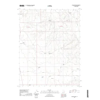
2020 Map of Sandstone Draw
USGS Topo · Published 2020About this map
Big Indian Valley and its surrounding canyonlands define the topography of this high-desert region in San Juan County. Named rock formations like Casa Colorado Rock, Red Rock, and White Rock serve as landmarks for navigation across a landscape carved by seasonal drainages. The complex network of dry watercourses, including Sandstone Draw, Hook and Ladder Gulch, and Big Indian Wash, indicates a terrain defined by ancient erosion and intermittent water flow.
Find a feature on this map
26 named features on this map. Tap any name to fly to it.
Don’t see what you’re looking for? This feature index may not catch every label — zoom into the map to look around manually.
Map Details
Editions of this 2020 Sandstone Draw Map
This is the sole edition of this map. No revisions or reprints were ever made.
Other maps of this area

1885 · La Sal
USGS Topo · 1:250,000

1954 · Mt Peale 3 NW
USGS Topo · 1:24,000

1954 · Mt Peale 4 NW
USGS Topo · 1:24,000

1954 · Mt Peale 3 SW
USGS Topo · 1:24,000

1954 · Mt Peale 3 NE
USGS Topo · 1:24,000

1954 · Mt Peale 3 SE
USGS Topo · 1:24,000

1954 · Mt Peale 1 SW
USGS Topo · 1:24,000

1954 · Mt Peale 2 SW
USGS Topo · 1:24,000

1954 · Mt Peale 2 SE
USGS Topo · 1:24,000

1954 · Mt Peale 4 SW
USGS Topo · 1:24,000