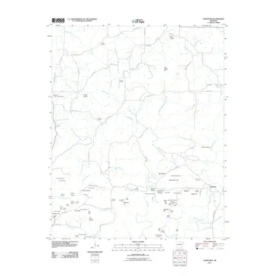
2011 Map of Sandtown
USGS Topo · Published 2011About this map
Poke Bayou and its winding tributaries, including Barren Fork and Sullivan Creek, define this rural section of Independence County. The landscape is heavily marked by industrial history, particularly in the southern half of the quadrangle where a high density of manganese and mineral extraction sites are documented. These include operations like the Klondike Mine, Polk Southard Mines, and Montgomery Hill Mine, alongside numerous prospects such as the Henry King Prospect. Small rural communities and family landholdings are anchored by scattered burial grounds like Kirk Cemetery, Shaw Cemetery, and Conyers Cemetery. The settlement of Sandtown sits at the junction of Sandtown Rd and Discovery Ln, serving as a focal point for the surrounding hollows. Higher elevations such as Napoleon Hill and Peter Martin Hill rise above the drainage basins, illustrating the complex terrain that dictated the placement of early roads like Saint Paul Rd and the United States Mag Corp Lake Dam.
Find a feature on this map
104 named features on this map. Tap any name to fly to it.
Don’t see what you’re looking for? This feature index may not catch every label — zoom into the map to look around manually.
Map Details
Editions of this 2011 Sandtown Map
This is the sole edition of this map. No revisions or reprints were ever made.
Other maps of this area

1890 · Batesville
USGS Topo · 1:125,000

1891 · Batesville
USGS Topo · 1:125,000

1942 · Bethesda
USGS Topo · 1:24,000

1942 · Batesville
USGS Topo · 1:31,680

1942 · Mt Pleasant
USGS Topo · 1:31,680

1943 · Sandtown
USGS Topo · 1:24,000

1943 · Cave City
USGS Topo · 1:31,680

1943 · Sulphur Rock
USGS Topo · 1:31,680

1943 · Batesville
USGS Topo · 1:24,000

1951 · Melbourne
USGS Topo · 1:62,500