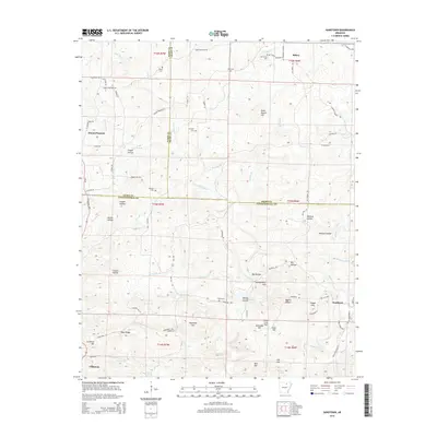
2014 Map of Sandtown
USGS Topo · Published 2014About this map
The convergence of Izard, Sharp, and Independence counties defines this Ozark foothills landscape, where the settlements of Sandtown and Mount Pleasant anchor a terrain of high ridges and carved hollows. Significant watercourses like Poke Bayou and Sullivan Cr drainage systems dictate the local topography, which includes landmarks such as Peter Martin Hill and Napoleon Hill. Local history is preserved in several family and community burial grounds, including Shaw Cem, Kirk Cem, and Mt Carmel Cem, often situated near early roads like Shaw Cemetery Rd and Mt Carmel Rd. The southern portion of the map shows the outskirts of Cushman, illustrating the transition from open hills to more concentrated road networks. This map provides a detailed view of the rural upland economy and settlement patterns just as the modern road system, including Sandtown Rd and Cave City Rd, follows long-established paths through the hollows.
Find a feature on this map
84 named features on this map. Tap any name to fly to it.
Don’t see what you’re looking for? This feature index may not catch every label — zoom into the map to look around manually.
Map Details
Editions of this 2014 Sandtown Map
This is the sole edition of this map. No revisions or reprints were ever made.
Other maps of this area

1890 · Batesville
USGS Topo · 1:125,000

1891 · Batesville
USGS Topo · 1:125,000

1942 · Bethesda
USGS Topo · 1:24,000

1942 · Batesville
USGS Topo · 1:31,680

1942 · Mt Pleasant
USGS Topo · 1:31,680

1943 · Sandtown
USGS Topo · 1:24,000

1943 · Cave City
USGS Topo · 1:31,680

1943 · Sulphur Rock
USGS Topo · 1:31,680

1943 · Batesville
USGS Topo · 1:24,000

1951 · Melbourne
USGS Topo · 1:62,500