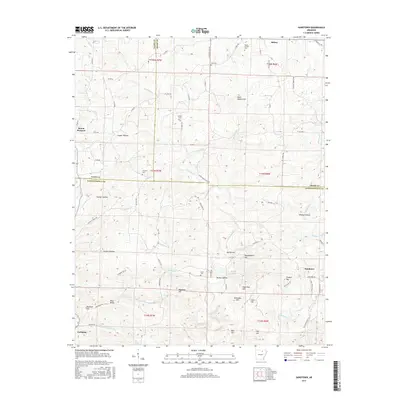
2017 Map of Sandtown
USGS Topo · Published 2017About this map
Poke Bayou and its numerous tributaries, including Barren Fork and Sidney Creek, carve a complex network of ridges and hollows across this section of Independence, Izard, and Sharp counties. The landscape is defined by family-named landmarks and high points such as Peter Martin Hill, Galloway Hill, and Napoleon Hill, while deep recesses like Cooper Hollow and Wildcat Hollow suggest the difficult terrain managed by local residents. Settled communities are concentrated at Sandtown, Mount Pleasant, and Cushman, where the road network transitions from state-maintained routes to local paths like Flat Rock Hill Road. Genealogical interest is found in the scattered burial grounds that serve these rural communities, including Clark Cemetery, Conyers Cemetery, and Kirk Cemetery. The area's hydrology is further detailed by features such as Beatty Pond and the headwaters of Sullivan Creek, illustrating the drainage patterns that have historically shaped land use in this Arkansas upland.
Find a feature on this map
80 named features on this map. Tap any name to fly to it.
Don’t see what you’re looking for? This feature index may not catch every label — zoom into the map to look around manually.
Map Details
Editions of this 2017 Sandtown Map
This is the sole edition of this map. No revisions or reprints were ever made.
Other maps of this area

1890 · Batesville
USGS Topo · 1:125,000

1891 · Batesville
USGS Topo · 1:125,000

1942 · Bethesda
USGS Topo · 1:24,000

1942 · Batesville
USGS Topo · 1:31,680

1942 · Mt Pleasant
USGS Topo · 1:31,680

1943 · Sandtown
USGS Topo · 1:24,000

1943 · Cave City
USGS Topo · 1:31,680

1943 · Sulphur Rock
USGS Topo · 1:31,680

1943 · Batesville
USGS Topo · 1:24,000

1951 · Melbourne
USGS Topo · 1:62,500