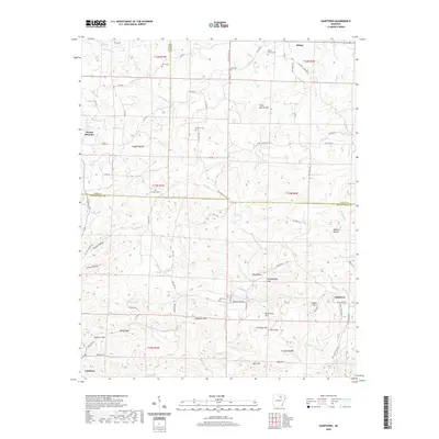
2020 Map of Sandtown
USGS Topo · Published 2020About this map
Poke Bayou and its numerous tributaries, such as Barren Fork and Sullivan Cr, wind through this section of the Ozark foothills where Izard, Sharp, and Independence Counties meet. The landscape is defined by a dense network of ridges and hollows, often bearing family names like Peter Martin Hill, Galloway Hill, and Beatty Hollow. Small communities and historic rural centers such as Sidney, Mount Pleasant, and Sandtown are scattered across the terrain, connected by a web of county roads that follow the high ground and creek valleys.
Find a feature on this map
86 named features on this map. Tap any name to fly to it.
Don’t see what you’re looking for? This feature index may not catch every label — zoom into the map to look around manually.
Map Details
Editions of this 2020 Sandtown Map
This is the sole edition of this map. No revisions or reprints were ever made.
Other maps of this area

1890 · Batesville
USGS Topo · 1:125,000

1891 · Batesville
USGS Topo · 1:125,000

1942 · Bethesda
USGS Topo · 1:24,000

1942 · Batesville
USGS Topo · 1:31,680

1942 · Mt Pleasant
USGS Topo · 1:31,680

1943 · Sandtown
USGS Topo · 1:24,000

1943 · Cave City
USGS Topo · 1:31,680

1943 · Sulphur Rock
USGS Topo · 1:31,680

1943 · Batesville
USGS Topo · 1:24,000

1951 · Melbourne
USGS Topo · 1:62,500