
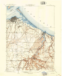
1959 Map of Sandusky
USGS Topo · Published 1960About this map
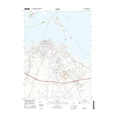
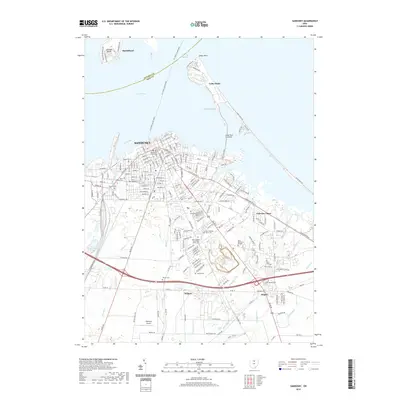
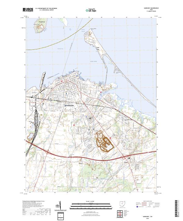
Sandusky and its industrial waterfront dominate this late 1950s survey, showing a city deeply tied to the waters of Lake Erie and Sandusky Bay. The map documents a dense urban core filled with neighborhood landmarks like Jackson Jr High Sch and St Marys Ch, while the southern reaches reveal the sprawling perimeter of the Plum Brook Ordnance Works. This military facility, alongside the Soldiers and Sailors Home, highlights the significant institutional presence in the region during the mid-century era.
Find a feature on this map
62 named features on this map. Tap any name to fly to it.
Don’t see what you’re looking for? This feature index may not catch every label — zoom into the map to look around manually.
Map Details
Editions of this 1959 Sandusky Map
This is the sole edition of this map. No revisions or reprints were ever made.
Historical Maps of Sandusky Through Time
8 maps found
Featured Locations
- Sandusky, OH
- Margaretta Township, OH
- Ranch Wood, Perkins Township
- Wilmer, Perkins Township
- Marblehead, Danbury Township