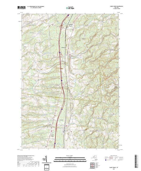
2023 Map of Sandy Creek
USGS Topo · Published 2023About this map
Pierrepont Manor and Mannsville anchor the northern landscape of this Jefferson and Oswego County borderland, where the terrain transitions toward the Tug Hill region. The area is defined by a dense network of watercourses, including Skinner Creek, Lindsey Creek, and Little Sandy Creek, which historically powered local mills and shaped the development of villages like Lacona and Sandy Creek. Genealogists will find significant value in the distribution of family-named burial grounds, such as Scripture Cem and the Boylston Sandy Creek Wesleyan Cem. Higher elevations like Wheat Hill and Shoecraft Hill overlook the settlement clusters, while an intricate system of rural roads and trails, including the Gold Spike Trl and Adsit Trl, crisscrosses the eastern forests of North Boylston.
Find a feature on this map
82 named features on this map. Tap any name to fly to it.
Don’t see what you’re looking for? This feature index may not catch every label — zoom into the map to look around manually.
Map Details
Editions of this 2023 Sandy Creek Map
This is the sole edition of this map. No revisions or reprints were ever made.
Other maps of this area

1893 · Sackets Harbor
USGS Topo · 1:62,500

1895 · Sacketts Harbor
USGS Topo · 1:62,500

1895 · Pulaski
USGS Topo · 1:62,500

1895 · Watertown
USGS Topo · 1:62,500

1898 · Watertown
USGS Topo · 1:62,500

1903 · Orwell
USGS Topo · 1:62,500

1905 · Orwell
USGS Topo · 1:62,500

1908 · Watertown
USGS Topo · 1:62,500

1909 · Watertown
USGS Topo · 1:62,500

1942 · Sandy Creek
USGS Topo · 1:24,000