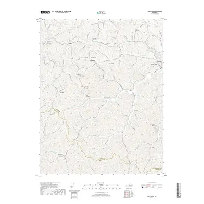
2019 Map of Sandy Hook
USGS Topo · Published 2019About this map
Sandy Hook and the surrounding heights of Elliott County define this portrait of eastern Kentucky's upland landscape. The terrain is a network of ridges and hollows, where family history is etched into the land through numerous small burial grounds such as Whitt Cem, Polk Howard Cem, and Milton Ladd Carter Cem. These sites, often located on higher ground near family holdings, offer essential data for genealogists tracing the region's early residents.
Find a feature on this map
115 named features on this map. Tap any name to fly to it.
Don’t see what you’re looking for? This feature index may not catch every label — zoom into the map to look around manually.
Map Details
Editions of this 2019 Sandy Hook Map
This is the sole edition of this map. No revisions or reprints were ever made.
Other maps of this area

1889 · Salyersville
USGS Topo · 1:125,000

1891 · Salyersville
USGS Topo · 1:125,000

1899 · Salyersville
USGS Topo · 1:125,000

1929 · Morehead
USGS Topo · 1:48,000

1935 · Morehead
USGS Topo · 1:62,500

1950 · Bruin
USGS Topo · 1:24,000

1950 · Isonville
USGS Topo · 1:24,000

1950 · Ault
USGS Topo · 1:24,000

1950 · Sandy Hook
USGS Topo · 1:24,000

1950 · Lenox
USGS Topo · 1:24,000