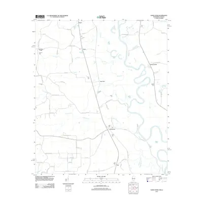
2012 Map of Sandy Hook
USGS Topo · Published 2012About this map
The Pearl River meanders through the heart of this Marion County landscape, creating a complex network of oxbows and swampy depressions like Blue Lake, Spains Lake, and Yellow Lake. Small settlements such as Sandy Hook and Saint Paul serve as local hubs for a rural interior defined by family-named landmarks and historical burial grounds. The distribution of cemeteries, including the T E Stogner Cem and Warren Cem, reveals the long-standing footprint of multigenerational families across the timberlands and creek bottoms.
Find a feature on this map
79 named features on this map. Tap any name to fly to it.
Don’t see what you’re looking for? This feature index may not catch every label — zoom into the map to look around manually.
Map Details
Editions of this 2012 Sandy Hook Map
This is the sole edition of this map. No revisions or reprints were ever made.
Other maps of this area

1949 · Angie
USGS Topo · 1:31,680

1950 · Crains Creek
USGS Topo · 1:31,680

1953 · Hattiesburg
USGS Topo · 1:250,000

1953 · Mobile
USGS Topo · 1:250,000

1957 · Mobile
USGS Topo · 1:250,000

1958 · Hattiesburg
USGS Topo · 1:250,000

1959 · Bogalusa
USGS Topo · 1:62,500

1959 · Poplarville
USGS Topo · 1:62,500

1960 · Mobile
USGS Topo · 1:250,000

1963 · Mobile
USGS Topo · 1:250,000