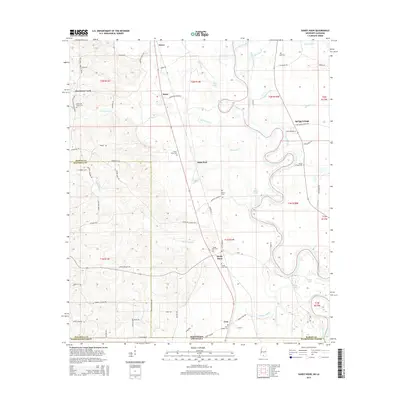
2015 Map of Sandy Hook
USGS Topo · Published 2015About this map
The Pearl River carves a serpentine path through the landscape of Marion and Walthall Counties, defining the state line between Mississippi and Louisiana. This terrain is marked by numerous oxbow features and lakes like Yellow Lake and Black Lake, which sit within the river's winding floodplain. Small rural settlements are scattered across the higher ground, including Sandy Hook, Saxon, and Sauer, connected by a network of local roads such as Military Rd and Spring Hill Church Rd.
Find a feature on this map
71 named features on this map. Tap any name to fly to it.
Don’t see what you’re looking for? This feature index may not catch every label — zoom into the map to look around manually.
Map Details
Editions of this 2015 Sandy Hook Map
This is the sole edition of this map. No revisions or reprints were ever made.
Other maps of this area

1949 · Angie
USGS Topo · 1:31,680

1950 · Crains Creek
USGS Topo · 1:31,680

1953 · Hattiesburg
USGS Topo · 1:250,000

1953 · Mobile
USGS Topo · 1:250,000

1957 · Mobile
USGS Topo · 1:250,000

1958 · Hattiesburg
USGS Topo · 1:250,000

1959 · Bogalusa
USGS Topo · 1:62,500

1959 · Poplarville
USGS Topo · 1:62,500

1960 · Mobile
USGS Topo · 1:250,000

1963 · Mobile
USGS Topo · 1:250,000