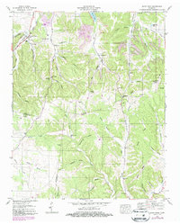
1951 Map of Sandy Hook
USGS Topo · Published 1987About this map
Sandy Hook and its surrounding communities sit at the junction of Maury, Giles, and Lawrence counties, defined by a landscape of intricate hollows and early industrial activity. The presence of numerous strip mines dotting the ridges near Guthrie Hollow and Johnson Hill indicates a period of heavy surface extraction that reshaped the local topography. This resource-driven economy was supported by the Seaboard System railroad and historical transit routes like the Jackson Highway and Old Railroad Grade.
Find a feature on this map
65 named features on this map. Tap any name to fly to it.
Don’t see what you’re looking for? This feature index may not catch every label — zoom into the map to look around manually.
Map Details
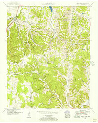
Editions of this 1951 Sandy Hook Map
2 editions found
Other maps of this area

1901 · Colombia
USGS Topo · 1:125,000

1936 · Sandy Hook
USGS Topo · 1:24,000

1936 · Mt Joy
USGS Topo · 1:24,000

1936 · Milky Way
USGS Topo · 1:24,000

1936 · Campbellsville
USGS Topo · 1:24,000

1936 · Ethridge
USGS Topo · 1:24,000

1936 · Crestview
USGS Topo · 1:24,000

1936 · Mount Pleasant
USGS Topo · 1:24,000

1936 · Columbia
USGS Topo · 1:24,000

1936 · Lynnville
USGS Topo · 1:24,000